Photo by Flickr 40987041@N07 (CC BY 2.0)Website
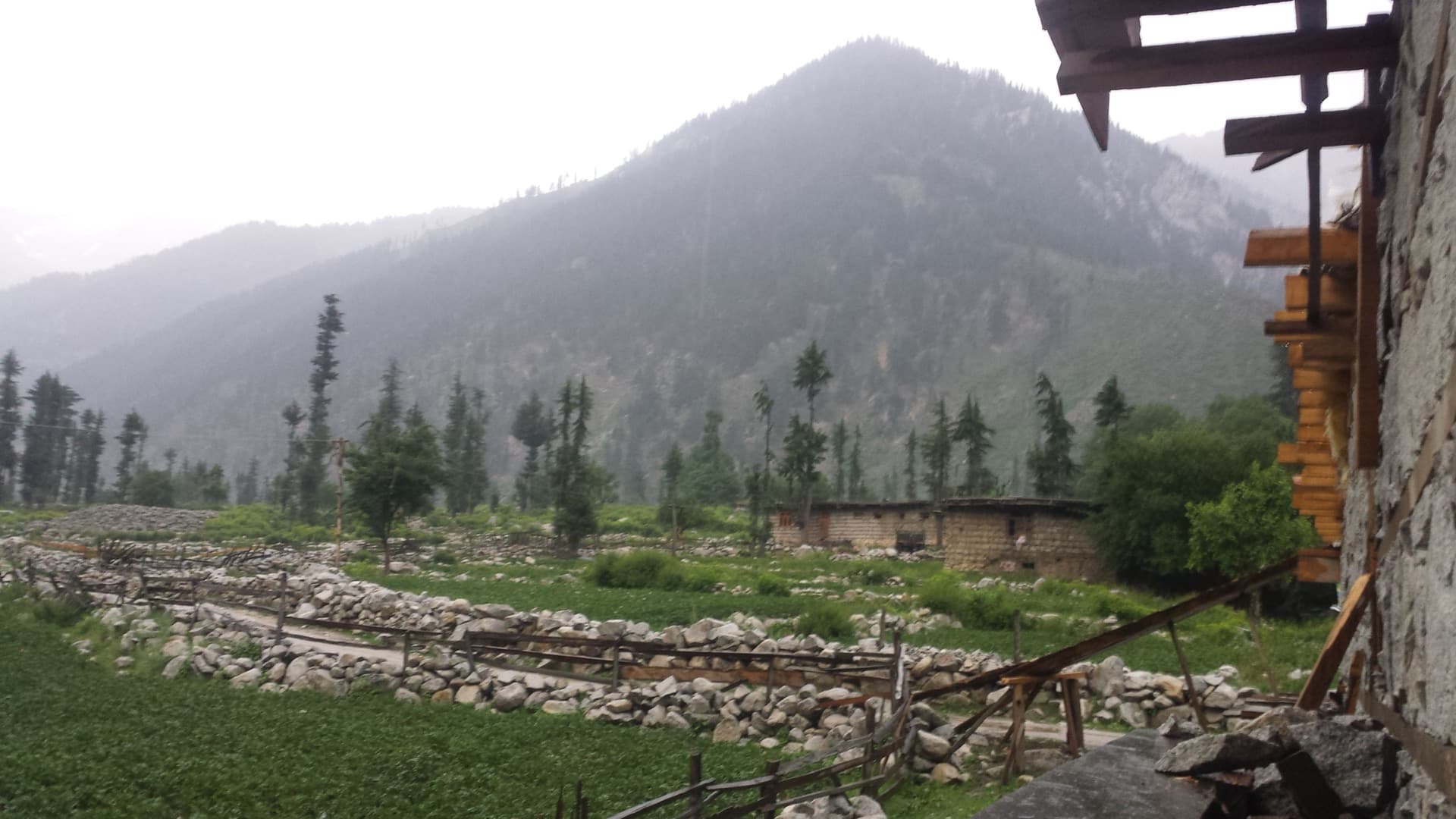
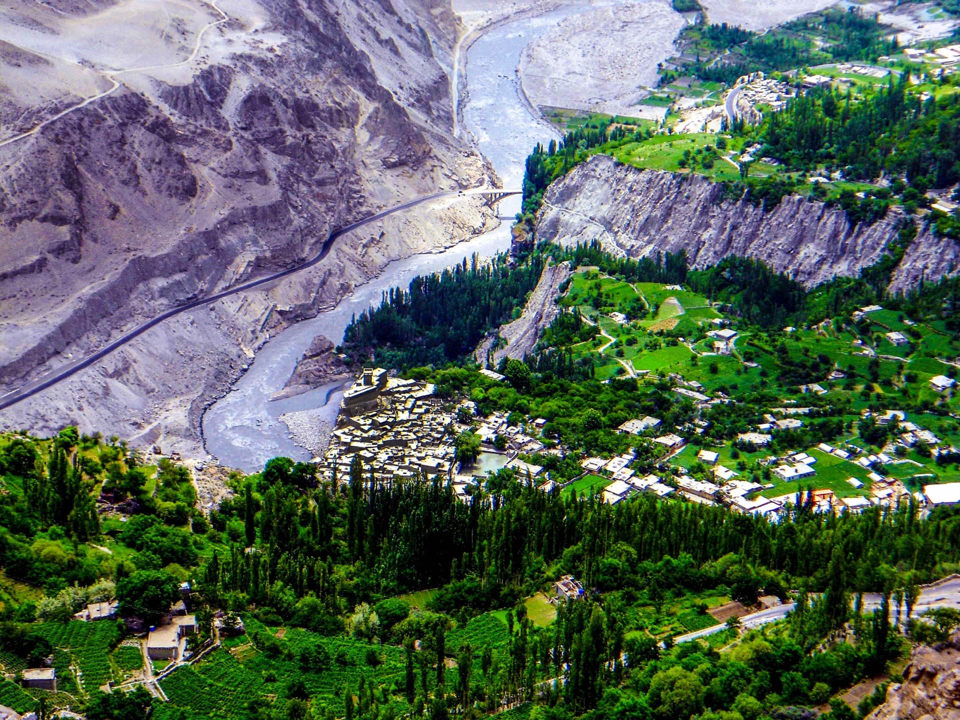
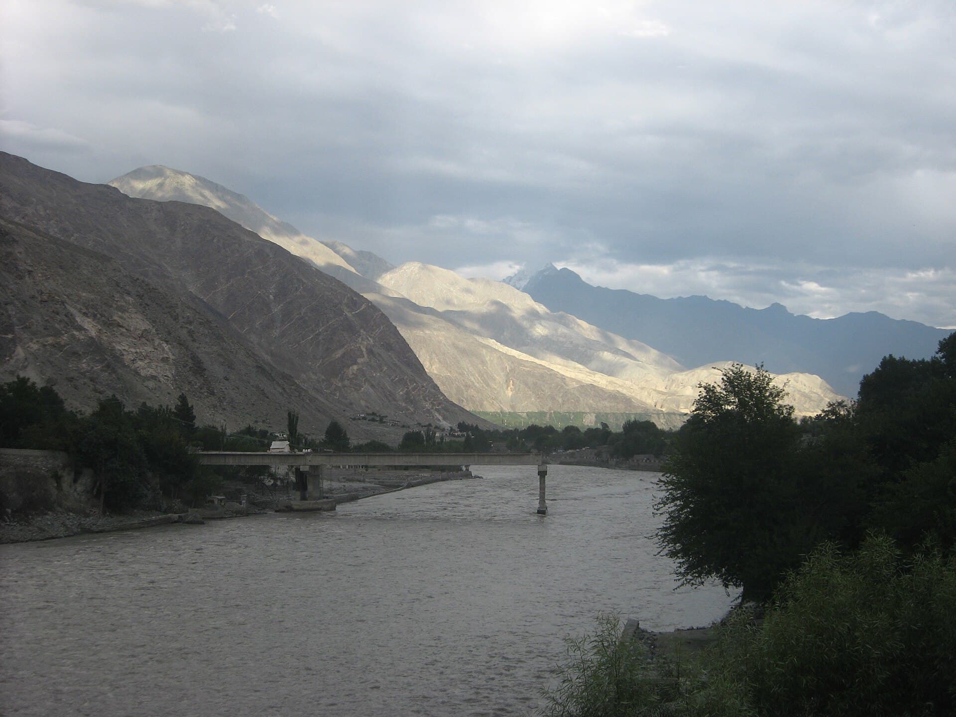
Gilgit is the beating heart of northern Pakistan, the capital of Gilgit-Baltistan and the hub through which almost every great mountain journey passes. Few travellers come for Gilgit city alone, and that is exactly the point: this is the place you fly into, stock up, switch vehicles and launch from, with Hunza, Skardu, Naltar, Fairy Meadows and the Shandur polo grounds all radiating out from it. But the city and its immediate surroundings hold real sights of their own, from an ancient rock carved Buddha to the dramatic junction of three of the world's greatest mountain ranges. This guide covers how to get to Gilgit, what to see in and around it, the best time to visit, where to stay and eat, how to use it as a base, and a simple plan to tie it together.
Gilgit at a glance
- Where: the capital of Gilgit-Baltistan, on the Gilgit River near the junction of the Karakoram Highway routes north and east.
- Role: the transport and supply hub for the whole region, and a historic Silk Route trading centre.
- From Islamabad: about a 1 hour flight, or a 10 to 12 hour drive up the Karakoram Highway.
- Famous for: the Kargah Buddha, the bazaar, the three ranges junction, and as the gateway to Hunza, Skardu and Naltar.
- Best time: April to July and September to November, with pleasant 15 to 25 degree days.
How to get to Gilgit
By air. The flight from Islamabad to Gilgit takes only about 52 minutes to an hour and is one of the most scenic short flights anywhere, skimming past Nanga Parbat. It is the fastest way in by far. The catch is that these mountain flights are weather dependent, so cancellations are common, and you should always keep a road plan as backup.
By road. The drive up the Karakoram Highway from Islamabad takes roughly 10 to 12 hours by public transport or taxi, longer with stops. It is a spectacular journey along the Indus and through the mountains, and for many travellers the road is part of the adventure. Comfortable intercity coaches run the route daily.
Onward from Gilgit. This is where Gilgit earns its keep. From the city it is roughly two to three hours up the Karakoram Highway to central Hunza, around six to seven hours east to Skardu, about 1.5 to 2.5 hours to Naltar, and a few hours toward the Fairy Meadows trailhead at Raikot. Shared jeeps, cars and coaches for all of these leave from Gilgit, which is why nearly every northern itinerary hinges on the city.
The junction of three ranges
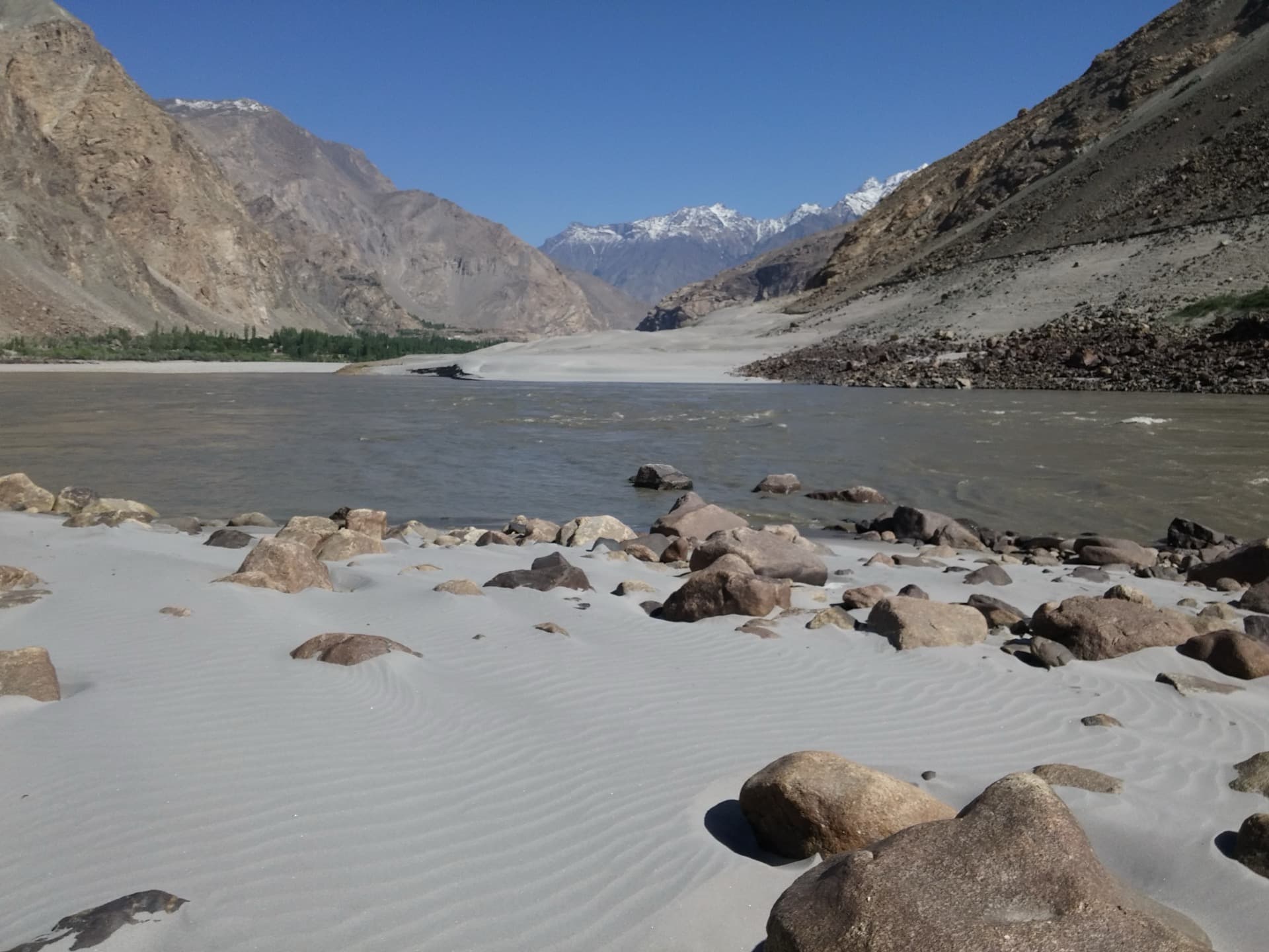
One of the region's most remarkable sights sits near Gilgit: the point where three of the world's greatest mountain systems meet, the Himalaya, the Karakoram and the Hindu Kush. A marked viewpoint on the Karakoram Highway explains the geology and lets you stand where these ranges converge, with the great bulk of Nanga Parbat, the world's ninth highest peak, dominating the skyline to the south. It is a humbling, only in Pakistan kind of place, and an easy stop on the way in or out.
Things to do in and around Gilgit
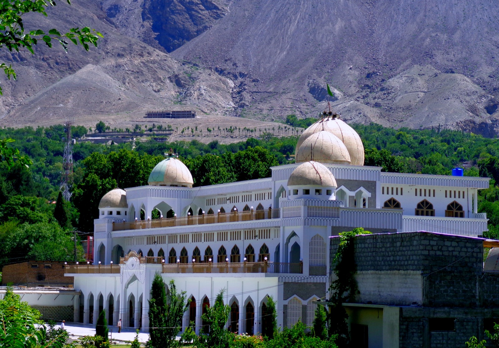
- Kargah Buddha, a large Buddha figure carved into a cliff face dating from around the 4th to 7th century, a short drive from the city in the Kargah Nallah, alongside the ruins of a Buddhist monastery. Entry is free and it is the city's signature heritage sight.
- Gilgit bazaar and Chinar Bagh, the bustling main market and riverside park, the best place to feel the rhythm of the city, buy dried fruit, gemstones and woollens, and try the local food.
- Gilgit History Museum, with artefacts and relics that tell the story of the region's Buddhist, Silk Route and mountain past.
- The Danyore valley and suspension bridges, including the locally built Beranu bridge, a tunnel and an old Chinese cemetery from the building of the Karakoram Highway.
- Bagrot Valley, about 17 km from the city, a lush side valley of pastures, glaciers and towering peaks, excellent for a day trip or a short trek.
- Haramosh Valley, with alpine pastures and big mountain views for the more adventurous.
- Rafting on the Indus and Gilgit rivers, paragliding, fishing and camping, all available around the city for those after some adventure.
Day trips and onward bases
Gilgit's greatest attraction is everything within reach of it. Use it as a base for the rainbow lakes and ski slopes of Naltar, a short rough drive away, or as the launch point for the forts and viewpoints of Hunza, the lakes and desert of Skardu, and the meadow under Nanga Parbat at Fairy Meadows. Many travellers spend a night in Gilgit at each end of a northern loop, breaking the long journeys and restocking in the city's shops and markets before pushing on.
Best time to visit Gilgit
Gilgit sits lower and warmer than the high valleys around it, so its season is a little longer. The best windows are April to July and September to November, with pleasant days of 15 to 25 degrees, clear skies and open roads. Summer can be hot in the city itself but is the peak for onward mountain travel. Autumn brings golden poplars and thinner crowds, one of the loveliest times. Winter is cold and quiet, with snow on the surrounding heights and some onward roads and passes closed, though the city remains accessible and Naltar's ski season draws a few visitors.
Where to stay
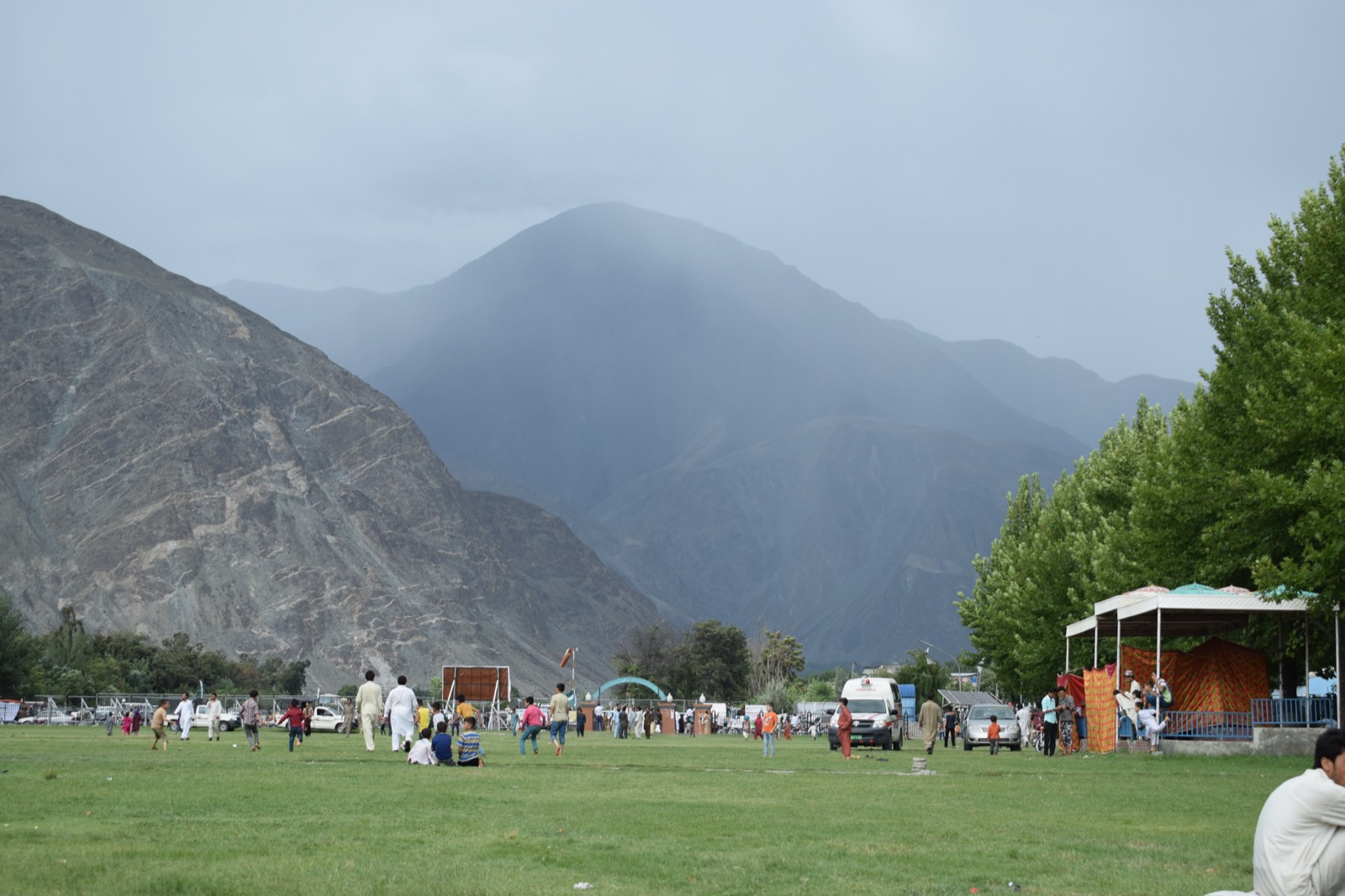
As the regional capital, Gilgit has the widest range of accommodation in the area, from simple backpacker guesthouses and mid range hotels in and around the bazaar to a handful of comfortable resorts and the well known Serena Gilgit at the upper end. Because most travellers use the city as a one night stopover at each end of a trip, a clean mid range hotel near the centre is usually the practical choice, with easy access to the markets and the transport stands. Book ahead in the summer peak and around the Shandur polo festival, when rooms fill quickly.
Food in Gilgit
Gilgit is a good place to eat well and cheaply. The bazaar and tea houses serve hearty local fare: seekh kebabs, the cheese filled bread called chapshuro, the rice dish palov, fresh bread and plenty of tea. The region's apricots, mulberries, walnuts and cherries are famous, and the dried fruit and nuts on sale in the market make excellent gifts and trail food. Street food is inexpensive and the riverside cafes are a pleasant spot to rest between journeys.
Getting around Gilgit-Baltistan
Within the city, taxis and rickshaws cover short hops cheaply. For the region beyond, shared jeeps, cars and coaches are the norm, leaving from Gilgit for Hunza, Skardu, Naltar and the valleys. For the rough mountain tracks to places like Naltar, Bagrot and the high lakes, a four wheel drive is essential, and hiring one with a local driver, shared across a group to split the cost, is the standard way to explore. Roads can be affected by landslides and weather, so build flexibility into your plans and travel the mountain sections by day.
Gilgit or Skardu: which to base in?
Travellers often ask whether to centre a trip on Gilgit or Skardu. The simple answer is that they serve different ends of the region. Gilgit is the better hub for Hunza, Naltar and the western valleys and the Shandur route to Chitral, while Skardu is the gateway to Deosai, Shigar, Khaplu and the great Karakoram peaks to the east. On a longer trip you can do both, linking them by the road that runs along the Indus, but if you must choose, pick Gilgit for Hunza and the lakes and Skardu for Deosai and the high mountains. Our Hunza vs Skardu guide goes deeper on that choice.
A simple Gilgit plan
- Day 1: Arrive by air or road, settle in near the bazaar, and spend the afternoon exploring the market and Chinar Bagh and trying the local food.
- Day 2: A half day trip to the Kargah Buddha and the Kargah Nallah, then the junction of three ranges viewpoint and the Danyore bridges, with an option to push into Bagrot Valley.
- Day 3: Move on to your main destination, whether the rainbow lakes of Naltar, the forts of Hunza or the long road to Skardu, using Gilgit as your launch pad.
Practical tips
- Keep a road backup for the flight: the Islamabad to Gilgit flight is frequently cancelled for weather.
- Use Gilgit to restock: it has the best shops, markets and services in the region, so stock up here before heading into the valleys.
- Hire 4x4 with a driver for the rough routes: and share it to split the cost.
- Carry cash: card machines are limited, especially once you leave the city.
- Travel mountain roads by day: landslides and weather make night driving risky.
- Respect local customs: dress modestly and ask before photographing people, as the region is conservative and welcoming in equal measure.
A little history and culture
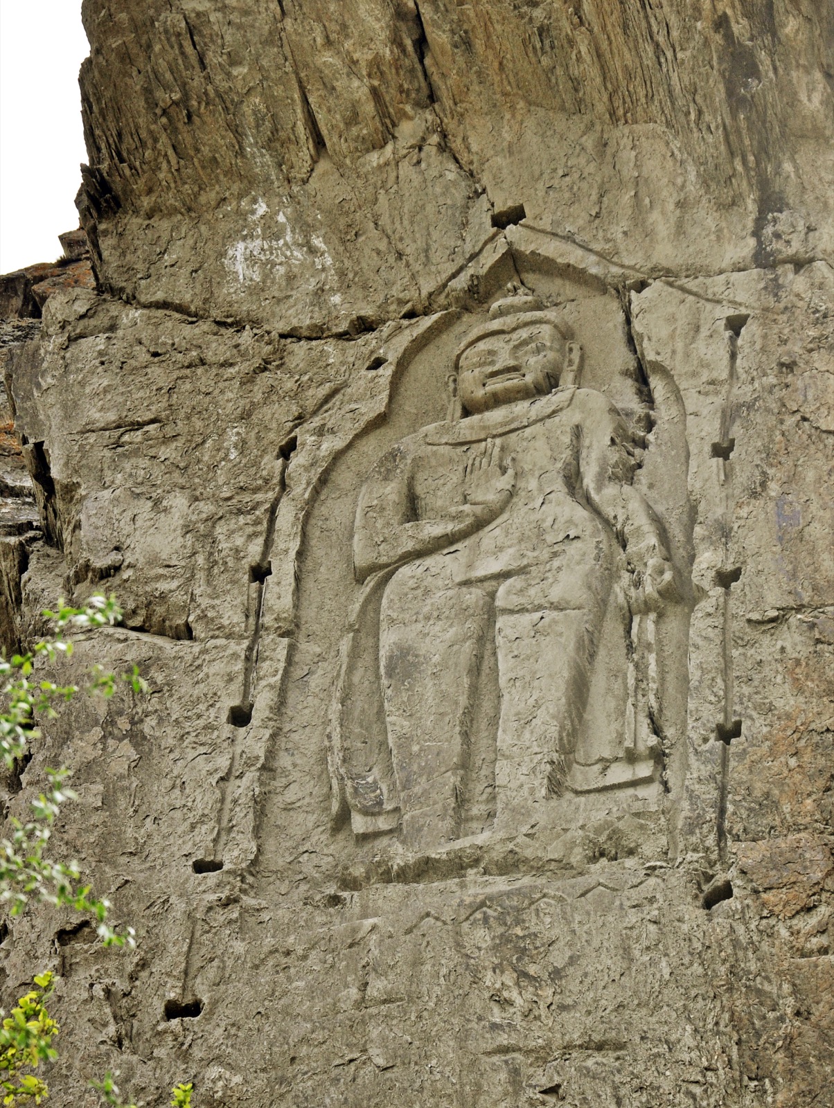
Gilgit has been a crossroads for well over a thousand years. It sat on a branch of the ancient Silk Route, where traders, pilgrims and armies moved between Central Asia, China and the subcontinent, and the Kargah Buddha and the region's monastery ruins are the quiet legacy of the centuries when Buddhism flourished here. The main local language is Shina, though Urdu and English are widely understood, and the culture is a rich blend shaped by the meeting of peoples along the old trade roads. Polo, played in its raw, free wheeling mountain form, is the regional passion, and traditional music and festivals still mark the seasons. For the traveller, this means Gilgit is not just a transit point but a place with genuine depth, where a walk through the bazaar or a conversation over tea opens a window onto a way of life rooted in the high mountains.
The Shandur polo festival
One of the great spectacles of the wider region is the Shandur polo festival, held each July on the Shandur Pass at around 3,700 metres, billed as the highest polo ground in the world. Teams from Gilgit and Chitral meet in a fiercely contested tournament played without the formal rules of the international game, watched by crowds who camp on the high meadow. Gilgit is the natural staging point for travellers heading to Shandur from the east, and timing a trip around the festival adds an unforgettable cultural highlight to a northern journey. Even outside festival time, the road toward Shandur through Phander and the Ghizer valley is one of the most beautiful and least travelled in the country.
Related guides
Use the city to reach Naltar Valley, plan timing with best time to visit Pakistan, budget with the Pakistan trip cost guide, and build the wider route with the northern Pakistan itinerary. Browse every region on the destinations page.
Last updated
Share this article
Frequently asked questions
- Is Gilgit worth visiting?
- Gilgit is more a useful base than a destination in itself. It is worth a night to rest, resupply and acclimatise, and the Kargah Buddha rock carving is a genuine highlight, but most of the scenery is in the valleys it connects to.
- How far is Gilgit from Hunza and Skardu?
- Hunza (Karimabad) is about 100 km and 2.5 to 3 hours north on the Karakoram Highway. Skardu is about 245 to 256 km and roughly 5 hours east along the Indus on the improved Skardu road.
- How do you get from Gilgit to Fairy Meadows and Naltar?
- For Fairy Meadows, drive about 80 km and 2 hours south to the Raikot Bridge, then take a jeep up the track and trek the final stretch. Naltar is about 40 km from Gilgit, with a 4x4 jeep needed for the rough climb into the valley.
- Is the Gilgit flight reliable?
- The Islamabad to Gilgit flight takes under an hour and is stunning, but it is one of the most weather-dependent routes in Pakistan and is often delayed or cancelled. Always keep the 13 to 16 hour road journey as a backup.
- Do you need to acclimatise in Gilgit?
- Gilgit sits at about 1,500 m, which is mild, but it is a sensible place to spend a relaxed first night before going higher to Hunza, the Deosai Plains or any trek. Drink plenty of water and avoid rushing straight to altitude.
- What is the best time to visit Gilgit?
- May to October is the main season. Summer is warm and reliable, while late September and October bring golden autumn colour and clear skies. Winter is cold with snow and frequent road and flight disruptions.