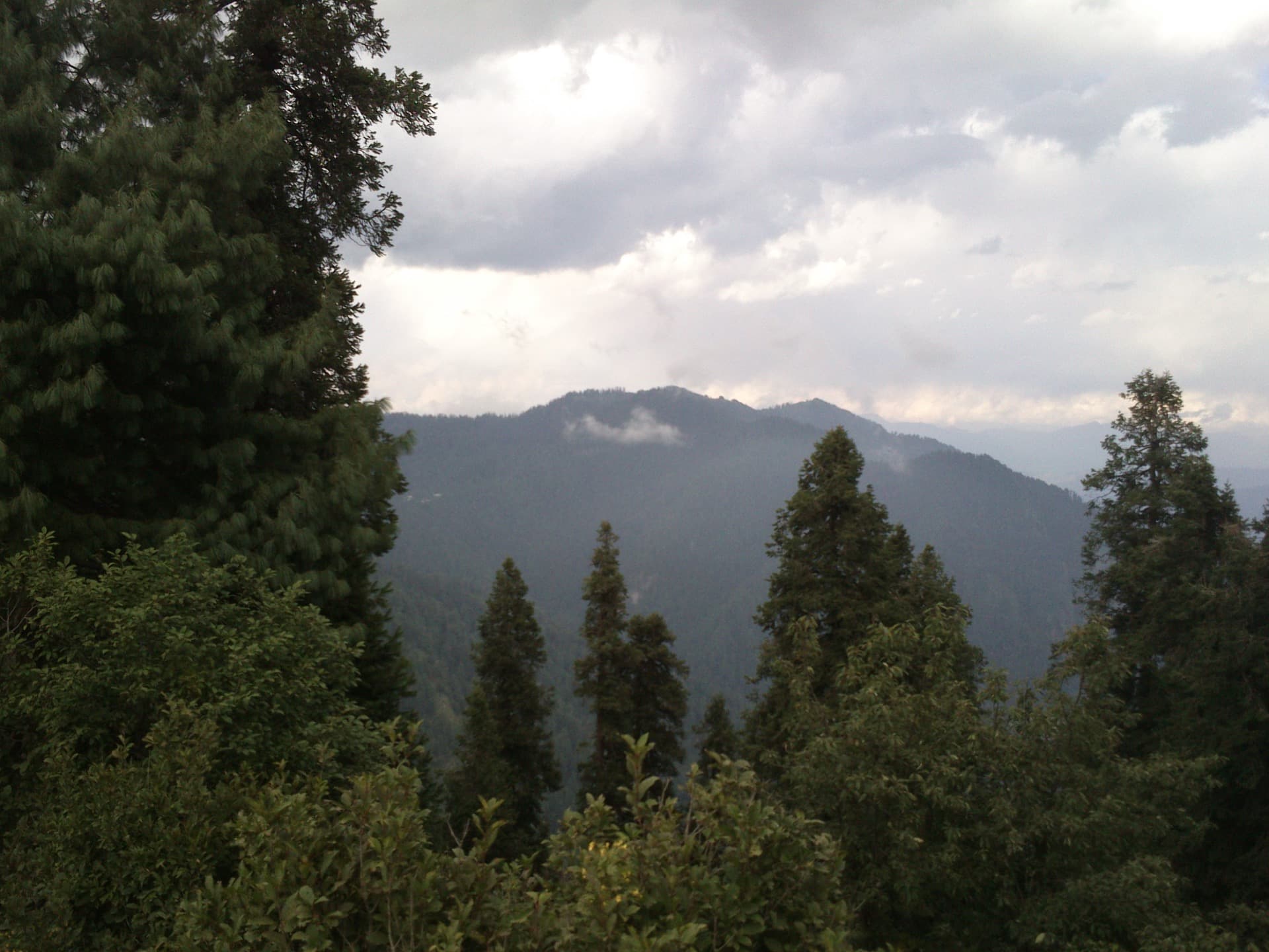
Photo by MAsghar1996Website
Distances in Pakistan are deceptive. On a map the northern valleys look close together, but the roads are mountain roads, narrow, winding and often slow, so a short distance can mean a long day behind the wheel. Knowing the real distances and realistic drive times is one of the most useful things you can do when planning a trip, because it stops you cramming too much into too few days. This guide gives you honest, approximate distances and driving times between Pakistan's main destinations, the key routes that connect them, and the seasonal closures to watch out for. Treat every figure as a realistic estimate, not a promise, because road conditions, traffic, checkposts and weather all change the real travel time.
How to read these distances
A few ground rules before the numbers. First, mountain driving is slow: average speeds on the Karakoram Highway and the valley roads are far lower than on a motorway, so distance in kilometres tells you less than the hours. Second, always add buffer time for stops, landslides, roadworks, checkposts and the simple fact that you will want to stop for the views. Third, some routes are seasonal and close under snow for months. And fourth, where flying is an option (Skardu and Gilgit), it turns a two-day drive into about an hour, weather permitting. Use these numbers to plan a realistic pace, and pair them with our northern Pakistan itinerary and how to plan a trip to Pakistan guides.
Distances from Islamabad
Islamabad is the main gateway and the start point for most northern trips. Approximate road distances and driving times from Islamabad:
- Lahore: around 375 km, about 4 hours on the motorway, the one genuinely fast route here.
- Naran (Kaghan Valley): around 250 km, roughly 6 to 8 hours, as the road slows sharply past Balakot.
- Swat (Mingora): around 250 km, roughly 5 to 6 hours, helped by the motorway for much of the way.
- Gilgit: around 500 km on the Karakoram Highway, roughly 12 to 14 hours, usually broken over two days.
- Hunza (Karimabad): around 600 km via the Karakoram Highway, roughly 14 to 16 hours, almost always done as a two-day drive with an overnight at Chilas or Besham.
- Skardu: around 640 km, roughly 15 to 18 hours by road, usually split over two days, or about a one-hour flight from Islamabad.
- Fairy Meadows (Raikot bridge): around 480 km to the bridge, roughly 11 to 13 hours, then a jeep ride and a hike to reach the meadow itself.
The headline takeaway: the far north (Hunza, Gilgit, Skardu) is a serious overland journey of one and a half to two days, while Naran and Swat are reachable in a single long day.
From Islamabad: at a glance
| Destination | Approx distance | Approx drive time |
|---|---|---|
| Lahore | ~375 km | about 4 hours (motorway) |
| Naran | ~250 km | 6 to 8 hours |
| Swat (Mingora) | ~250 km | 5 to 6 hours |
| Gilgit | ~500 km | 12 to 14 hours (often 2 days) |
| Hunza (Karimabad) | ~600 km | 14 to 16 hours (usually 2 days) |
| Skardu | ~640 km | 15 to 18 hours, or a 1 hour flight |
| Fairy Meadows (Raikot bridge) | ~480 km | 11 to 13 hours, then jeep and hike |
Distances between the northern destinations
Once you are up north, these are the connections that matter most:
- Gilgit to Hunza: around 100 km, roughly 2.5 to 3 hours, an easy and scenic leg on the Karakoram Highway.
- Gilgit to Skardu: around 200 km, roughly 5 to 6 hours along the Indus.
- Hunza to Skardu: around 290 km via Gilgit and the Karakoram Highway, roughly 6 to 7 hours, or via the Deosai Plains in summer, around 8 to 9 hours but spectacular.
- Naran to Kalam: there is no short direct road, since they sit in different valleys separated by mountains, so the realistic route is around 330 km and most of a day, backtracking down and around.
- Naran to Hunza: in summer, when the Babusar Pass is open, this is a long but stunning day over the pass and onto the Karakoram Highway; outside the open-pass season the journey is much longer via the main highway.
- Islamabad to Hunza via Naran and Babusar: a popular summer routing of around 650 km that swaps the standard highway for the Kaghan Valley and Babusar Top.
For help choosing between these places rather than just reaching them, see our Hunza vs Skardu, Naran vs Swat and Kalam vs Naran comparisons.
Between destinations: at a glance
| Route | Approx distance | Approx time |
|---|---|---|
| Gilgit to Hunza | ~100 km | 2.5 to 3 hours |
| Gilgit to Skardu | ~200 km | 5 to 6 hours |
| Hunza to Skardu | ~290 km (KKH) | 6 to 7 hours (8 to 9 via Deosai, summer) |
| Naran to Kalam | ~330 km (no direct road) | most of a day |
Reaching the quieter valleys
The off-the-beaten-track valleys are further and slower again, which is exactly why they stay quiet. Chitral sits remote against the Hindu Kush, reached either over the high Lowari area from the Dir side or the long way round, and the onward Kalash valleys add more rough-road hours; budget the better part of a long day from the nearest hub and treat it as a destination in its own right, not a side trip. Neelum Valley in Azad Kashmir is a long green river valley reached via Muzaffarabad, with the drive deep into the valley taking many hours on roads that worsen the further you go. Kumrat in upper Dir is a forested valley where the final stretch is rough track best suited to a sturdy vehicle. The pattern holds everywhere in the north: the more beautiful and untouched the valley, the longer and slower the road in, so always plan these on hours, not map distance. See the Chitral and Kalash guide, Neelum Valley guide and Kumrat Valley guide for the detail on each.
The key routes explained
The Karakoram Highway (KKH) is the spine of the north, running from near Islamabad up through Chilas, Gilgit and Hunza toward the Khunjerab Pass and the Chinese border. It is paved and one of the world's great drives, but it is long, and rockfall or landslides can cause delays. The Kaghan Valley road climbs from Balakot through Naran and over the high Babusar Top pass to join the KKH near Chilas, open only in the warmer months. The Swat motorway and valley road make Swat and Kalam relatively quick to reach from Islamabad. The Skardu road branches off the KKH at Jaglot and follows the Indus to Skardu, much improved in recent years but still a long haul. For more on the gateway towns, see our Gilgit travel guide and Islamabad travel guide.
Fly or drive?
For Skardu and Gilgit, flying from Islamabad is a genuine option and turns a brutal two-day drive into about an hour. The catch is that mountain flights are weather-dependent and frequently cancelled, so you cannot rely on them for tight schedules. The common strategy is to drive up the Karakoram Highway (the journey is half the experience) and fly back to save time, keeping a road buffer in case the flight is grounded. Book flights as early as you can, since seats on the Skardu and Gilgit routes sell out fast in peak season, and never plan an onward international connection tight against a mountain flight, because a single weather cancellation can cost you a day or more. If your schedule has no give, drive both ways and treat any flight you catch as a bonus. Factor the cost of flights into your budget with our Pakistan trip cost breakdown.
Seasonal closures to plan around
Several of the most scenic links are summer-only. The Babusar Pass between Naran and the KKH is typically open from around early summer to early autumn and snowbound the rest of the year. The Deosai Plains route between Skardu and Astore is a short summer window only. The high road toward the Khunjerab Pass also closes in winter. The main Karakoram Highway stays open year round but can be disrupted by snow and landslides in the cold months. Always check current conditions locally before relying on a high mountain route, and time your trip with our best time to visit Pakistan guide.
Planning tips that save you a ruined day
- Do fewer places, properly. The single biggest mistake is underestimating drive times and spending the whole trip in the car. Build the route around realistic hours, not map distances.
- Break the long hauls. The drive to Hunza or Skardu is a two-day job; plan an overnight at Chilas or Besham rather than attempting it in one punishing push.
- Add buffer days. Landslides, weather and cancelled flights happen. A spare day stops one delay from wrecking the whole itinerary.
- Hire a local driver for the mountain legs. It is affordable, far safer on these roads, and lets you enjoy the scenery.
- Travel the high passes in daylight. The views are the point, and mountain roads are no place to be after dark.
What this means for a real itinerary
Put the numbers together and the pacing becomes obvious. A first trip of seven to ten days realistically covers Islamabad plus one northern region, because two of those days are swallowed by the drive up and back, or shortened by flying one leg. Trying to do Hunza, Skardu and Naran in a single week means spending most of it in the car, arriving everywhere tired and seeing little. A better ten-day shape is to fly or drive to the Hunza and Gilgit area, spend several unhurried days there, add Skardu via the Karakoram Highway or Deosai if time allows, and fly back. Naran and Swat, being a single day from Islamabad each, suit shorter trips or a gentler first visit. The distances are not an obstacle so much as the thing that should shape the whole plan: choose a region, give it the days it deserves, and let the drive times tell you what is realistic rather than fighting them.
Once you have the distances mapped, build the trip with our destinations page, the northern Pakistan itinerary, and the how to plan a trip to Pakistan guide.
Share this article
Frequently asked questions
- How far is Hunza from Islamabad, and how many hours?
- Hunza (Karimabad) is roughly 600 km from Islamabad via the Karakoram Highway, which realistically takes around 14 to 16 hours of driving. Almost nobody does it in one go; the normal approach is a two-day drive with an overnight at Chilas or Besham. If you are short on time, fly to Gilgit and drive the remaining 2.5 to 3 hours to Hunza.
- How far is Skardu from Hunza by road?
- Skardu is about 290 km from Hunza via Gilgit and the Karakoram Highway, roughly 6 to 7 hours. In summer you can also go via the Deosai Plains, around 8 to 9 hours but one of the most spectacular drives in the country. Road conditions vary, so allow buffer time either way.
- How far is Naran from Kalam?
- There is no short direct road between them, because Naran sits in the Kaghan Valley and Kalam in the Swat Valley, separated by mountains. The realistic route is around 330 km and most of a day, backtracking down one valley and up the other. They are best treated as separate trips rather than a quick hop.
- How far is Skardu from Islamabad by road, and can you drive it?
- Yes. Skardu is roughly 640 km from Islamabad, about 15 to 18 hours of driving, usually split over two days via the Karakoram Highway and the Skardu road along the Indus. The faster alternative is a flight of about an hour from Islamabad, though mountain flights are weather-dependent and can be cancelled.
- How far is Naran from Islamabad?
- Naran is around 250 km from Islamabad, but the mountain road past Balakot is slow, so realistically it takes about 6 to 8 hours. It is one of the more accessible northern destinations and can be reached in a single long day, which is part of why it is so popular as a summer escape.
- Why do short distances take so long in northern Pakistan?
- Because they are mountain roads: narrow, winding, often single-lane, and shared with landslides, checkposts and slow trucks. Average speeds are far lower than on a motorway, so kilometres are a poor guide to time. Plan by hours rather than distance, add buffer time, and avoid driving high passes after dark.
Continue Reading